Mapping of areas of intense wave-current interaction in Faroese waters
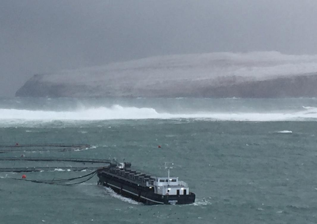
The interaction between ocean currents and waves are known to intensify the sea state, which may lead to challenging situations in marine operations, but are also of importance to understand the sea state in general and the mixing determining the living conditions for the marine ecology. The Faroe Islands are located in the region where the largest waves ever are recorded by scientific instruments and with relatively strong currents due to the tides and main ocean currents passing through the areas, and the economy is largely based on marine activities, but still regions of potential intensifying wave conditions due to interaction with ocean currents are poorly mapped nor the underlying conditions or processes are understood. Here it is proposed to expand ongoing ocean circulation model activities based on an implementation of the FVCOM model for the Faeroe area with a wave model to map potential ares for potential dangerous waves for a given weather situation both in open water along the shelf edge and in coastal areas, and to understand its role in determining the sea surface temperature and salinity in the area.


- Bárður Joensen, COSUrFI
- Knud Simonsen, COSUrFI
- Bárður A. Niclasen, Faroe Met. Office.
- Faroese Research Council
- University of the Faroe Islands (COSUrFI)
In progress
- Prepatory Projects: June-Dec., 2023
- Main Projects: Jan. 2024-Dec. 2027